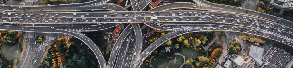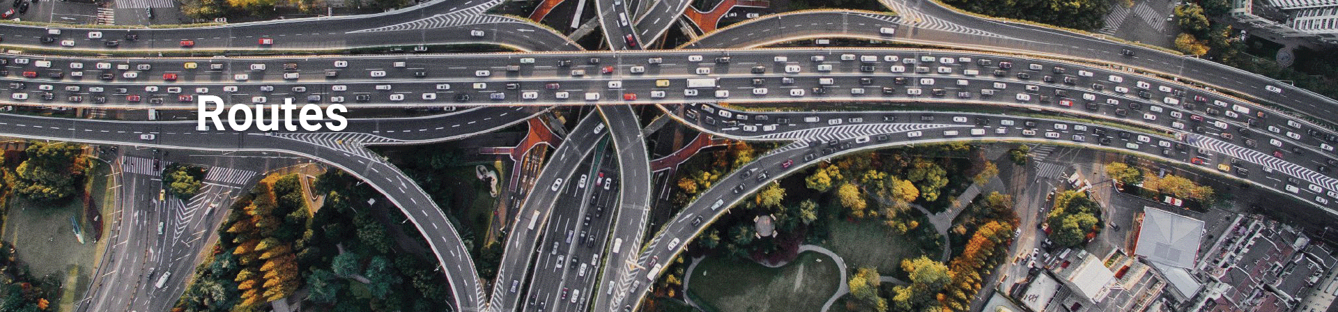
Control the management of your roads and infrastructures
Optimize the management of your road network with our business solutions. Our dedicated software packages centralize all your road data and integrate advanced interactive mapping for a complete, up-to-date view of your road network. Plan pavement maintenance, monitor your developments, manage your equipment, and coordinate interventions to guarantee the safety, durability and performance of your roads.
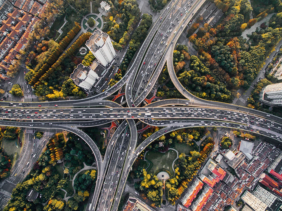
Offer your region optimal management and innovative tools to meet the challenges of mobility, ecological transition and road and infrastructure maintenance. Our solutions make it easier to make decisions, anticipate investment needs and prioritize work, while ensuring smooth collaboration between all the players involved.
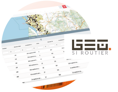
GEO SI ROUTIER
The road information system
Efficiently consult and manage your road network with GEO SI Routier, a powerful, intuitive tool. GEO SI Routier dynamically segments your infrastructures, while preserving the consistency of your repositories, equipment and network events. With its interactive mapping and advanced editing capabilities, GEO SI Routier helps you maintain a structured, reliable network that's ready to evolve. Visualize, analyze and update your data in real time for complete road monitoring.
GEO SI Routier has been designed in collaboration with the departmental councils, incorporating best practices in the field and meeting the needs of all business units involved in day-to-day road management: roads, mobility, infrastructure, road assets, road safety and response management.
Thanks to its integrated application generator, GEO SI Routier evolves with you: create, without coding, new modules adapted to your specific needs, such as budget planning, mowing or works management. Interoperable with your existing tools and mobile-accessible, GEO SI Routier guarantees seamless administration of your road network, both on site and in the field.
GEO SI Routier is the modern solution for managing your road assets, supporting sustainable regional development and responding effectively to tomorrow's mobility challenges.