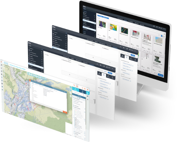
GEO Technologies

Interoperability and power

Autonomous GIS generation

Create and distribute meaningful map applications yourself

Interoperability and power

Ciril GROUP is the recognized expert in stand-alone GIS generation. Easily create and distribute your own ergonomic, responsive (HTML5) mapping applications, based on all your geographic and business data.

Capitalize on GEO Technologies: benefit from powerful, interoperable and scalable technology for

  • generate meaningful maps
  • federate your players
  • streamline collaboration,
  • co-producing information
  • and add value to your data on a large scale

|

|

|

|

GEO Generator

Increase your mapping potential

The Ciril GROUP GEO Generator is a universal, intuitive, no-code web GIS. It lets you create, configure and distribute responsive, customized maps and mapping applications in record time, with no technical skills required. As the central administration tool for the GEO platform, the GEO Generator offers an unprecedented level of freedom, performance and autonomy on the global GIS market.

Designed to meet all uses - both professional and general public - and all types of data, it enables each department or business to rapidly create its own cartographic applications, tailored to its specific needs. This means you can easily generate and multiply your mapping tools, on all media, to meet the challenges of every area of your organization's activity.

It also integrates detailed management of access and editing rights, by user, group and geographical scope, within a single application.

Standardized, interoperable and compliant with CNIG, INSPIRE and OGC recommendations, the GEO Generator promotes the sharing, collaboration and sustainability of your GIS projects.

The GIS Generation
par excellence

GEO Technologies

Openness to all your data

GEO Technologies

Continuous enhancement of your GIS

GEO Mobility

GIS mobility for needs in the field

GEO Mobility supports GIS needs in the field by enabling mobile workers to access their GEO application, even when offline. This means they can consult, locate and update the business information that concerns them, in real or delayed time, directly from their tablet or smartphone.

The application, available on the stores, embeds the data sets required for the intervention, while guaranteeing a fluid, secure and high-performance synchronization system. GEO Mobilité combines business precision, data security and field ergonomics, for optimum operational continuity, even without a network connection.

The mobile version of
is just a click away

GEO Technologies

Business mobility applications

GEO Technologies

GEO in the field

GEO 3D & BIM

GEO 3D & BIM adds a new dimension to your GIS projects by integrating 3D visualization and BIM digital models into your GEO applications.

Thanks to a sovereign open-source 3D cartographic rendering engine, developed in partnership with IGN, GEO 3D enables you to navigate continuously on a 3D globe, display your 2D and 3D data (3D Tiles, glTF format...) and enhance your business applications with measurement, navigation and advanced spatial analysis tools, including longitudinal profiles.

The BIM module extends these capabilities to manage, operate and maintain your structures and buildings using data in IFC format. GEO 3D & BIM thus facilitates the convergence between GIS and the world of construction, and plays an active role in the creation of your digital twins.

3D visualization

Digital twins

BIM

GEO IDS

GEO IDS (Infrastructures de Données Spatiales) brings together all the technologies and modules required for the GEO platform to provide an open or restricted access portal to your spatial data.

GEO IDS makes it easy to centralize data, metadata, maps and business applications in compliance with the INSPIRE directive, in line with your OpenData initiatives. Anyone can search, share, export, reuse and create their own maps from all this data.

Metadata

Geographical information

Collaborate

GEO Services

Enrich all your business and consumer maps and applications with value-added spatial representation and analysis functionalities:

  • geocoding
  • isochrony
  • route planner
  • route optimization
  • etc.

GEO Services can be used directly as APIs, on our GEO platform or in your business applications.